GhostMiner
-
Posts
2,169 -
Joined
-
Last visited
Content Type
Forums
Detector Prospector Home
Detector Database
Downloads
Everything posted by GhostMiner
-
 Thanks for the kind words!
 -
Just wanted to say thank you to all the readers of Jed's journal. It has been a dream of mine to post his entries on a great website like this. There is much more to come.
-
JUNE 27 1936 At dawn just before breakfast I took a short hike up the creek and continued about a half mile past our claim marker. I saw the ground riddled with test holes and scattered rocks. It appears the various groups of prospectors have been doing their work in trying to find a good place to stake a claim. I have been curious as to why we are working alone and not up against other mining claims. It seems to me the creek and benches don’t hold enough gold to make a good claim. We are fortunate to have a unique area of rich fault line. This also tells me that the gold probably did not disperse much past the fan of the drop zone. It also makes me confident that the big deposit is completely contained in the immediate vicinity of the bottom of the fault area. The only question I have is how many of these kettles are contained along the bottom of the fault on the claim. That answer could require several seasons of exploration. Down at the weigh we had a nice one. There were 6 ounces in the pan. This keeps our energy fueled. There is nothing like seeing good gold in the pan just after sun up. Back at the dig site Jacob, Will, and me continued our labor as usual. I have never once had to ask for more work from the crew. If anything, they are more than eager and I am trying to get them to pace themselves in the heat. The morning work is easiest as we are fresh and temperatures are cool. By noon the heat begins to build and seems to peak at the end of the afternoon. When the sun sets the temperatures drop off quickly and we are all putting on heavy shirts or jackets around the campfire. Today we all worked hard as usual and moved some good sized rock. We used the bar more than the previous days as well but still took out 140 buckets of gravel. It was Lucky Lager and whisky time.
-
I'd probably pass out LOL.
-
JUNE 26 1936 Yesterday's bucket count was lower and so was the gold weigh. We had 2 ounces in the pan. I think it means the gravel values are staying steady and very rich. I sent Jacob into town for supplies and in addition to food I told him to buy 10 cases of Lucky Lagers for the crew. I think this may help keep spirits up for everyone. He also bought new shovels as our original ones are in poor shape. We banged away at the kettle throughout the day. The river rock is not any bigger and we are able to manage it. The gravels look really good the deeper the hole gets. I test panned some of it during the day and am seeing lots of coarse gold. We are still waiting for the nuggets. Perhaps they are not here. The gold may have traveled down the old river channel a long distance and been down some. The smooth wall continues to drop straight down at the east of the kettle. The work is slow and steady. At the end of the day we got 140 buckets delivered to John. After supper the crew all had a few Lucky's and were in good spirits for sure. We were all taking our best guesses at the depth of the bottom of the kettle. I would be surprised if it was deeper than 15 or 20 feet. I know one thing for sure, we will find out where the bottom is before we leave. TO BE CONTINUED .................
-
Thanks so much for the kind words!
-
As long as they can work in the morning LOL.
-
Me too!
-
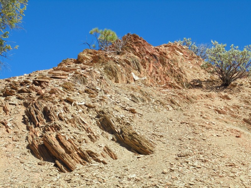
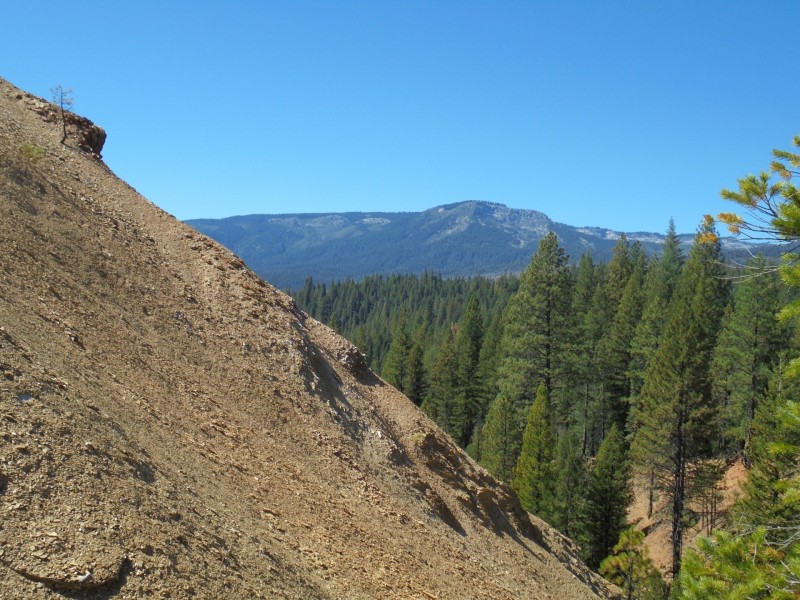
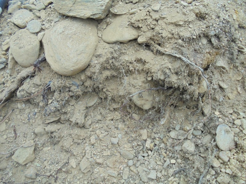
Very interesting indeed. According to the geology reports the ancient river ran from east to west and was nearly a mile in width. There were several massive "kettles" or as the geologist called them Drop Zone Faults. One of them is massive and was hydraulicked out by the old compamies of the 1860's & 1870's. This drop zone was 13 acres in size and about 40 - 50 feet deep. A massive pot hole in a big river of gold. There was a staggering 1.1 million ounces of gold taken out of it.
-
Here's some interesting info on how I got posession of the journal. While researching info on our claims I came across an old report from the Dept of Interior on the most northern area of our claims. A company from Los Angeles had been out there in the mid 1960's doing some work. This was on the faultline north of Jed's diggings. Out of the 282 page report Jed was included in 2 pages. It referred to his workings and gold take in U.S. dollars. It didn't have any personal info on him except what happened to him and just talked about what he did on that particular claim. It showed his dig site on their mapping & said he hit a glory hole. The report had the companies info but they had been out of business for a long time. It included the president of the companies name. I started researching him. He was a mine engineer as well as holding a degree in economics & business. I was hoping to find him if still alive and see what he knew about that area and particularly Jed. I wasn't having much luck until I found his picture in an old cigarette add that was in a magazine. It was a cigarette company advertisement using business people who smoked their cigarettes. There he was standing next to a rig that dug shafts in a business suit and hard hat and smoking their cigarette. Unreal. It gave his name and said he was a mining engineer from Tonopah Nevada. Bingo. It turned out he had died in the 1970's at the age of 45. Some kind of accident. He had some relatives in Tonopah & after a couple of phone calls & emails I was driving there to talk with a relative. When I arrived I was hoping they might know of some other records or info on our claims & Jed's diggings. The lady I spoke with said she knew nothing but she had been given an old journal that had once belonged to a miner of that property. The mine president had gotten it somehow, she wasn't sure how. I asked her if I could read it & take some pictures & notes. She just chuckled & said why don't you just take it if it's about your mine, I have no use for it. Wow, I couldn't believe it. So that's how I got it. It was still in fairly good shape except there are a few hard to read pages here & there. Of course when I started reading it I was floored at what had taken place. It all started with an internet search.
-
I wouldn't have known it either. It's straight up & down in some areas where the old hydraulic companies hit it hard and sluff didn't slide over it. Some of the fault is still buried up to the north and no one would know it's there unless they had the geologists maps. Jed's dig was right in the area where it started to disappear. I found out he had help fro the geologist. It was in the 1966 report. I'll put his name on here at the end.
-
That's a good question. Jed was working with a prominant geologist who identified the fault. I'm going to disclose his name after the journal is posted. I have the reports from the geologist from the company in the 1960's who worked in that area as well. He also identified it as a faultline. There is bedrock at the top & bottom and a lot of fractured rock & bedrock as well. It was caused by a shift in the tectonic plates. I also have our own geologist who identified the faultline. I have all the maps from the 1960's geologist who worked up there. The maps identify it as a fault. That's all I know.
-
JUNE 25 1936 We are about six feet deep in the kettle. This morning we weighed out at 4 ounces. The bucket totals are slowing some as expected but the pay is steady or better as we go deeper. The smooth walls of the hole are disappearing except for the eastern side which remains nearly vertical. This is most likely the side of the waterfall. I think the gold deposited over the falls dropped straight downward and found a bottom in this depression and some may be dispersed or fanned to the west. The biggest question to me is how deep is the bottom? There is no way of knowing. The work is slowing as the size of the river rock increases and must be brought to the surface. We are using a three foot square hard wood box to remove larger rock. So far it is manageable although tedious and exhausting. There is plenty of room in the hole for two men. My fear is the crew will wear down before the bottom is found. We can only do our best each day. No one ever complains about the work. Today we ended up with 155 buckets which was quite an achievement for the crew. We are drenched in sweat and all tired to the bone tonight. The cool creek felt good and revived our worn down bodies some. My whiskey and gold are my comfort. TO BE CONTINUED ...................
-
Great movie.
-
I remember that movie!
-
JUNE 24 1936 After a good breakfast of bacon and beans we finished up the weigh ang had 5 ounces in the pan. We went to work and the heat was big. Over 100 degrees for the first time this afternoon. The crew hauled out 170 buckets and it was hard earned. We started getting into bigger river rock that had to be bucketed out with the winch. We clean the rock off of any material clinging to it over the bucket and that slows us down. We worked until damn near dark and when we drove the last lode down to the creek we all took a bath in cool water. John is running the pump as the water is slowing pretty good. All the run off from higher up the mountain is pretty much gone now but there's still plenty of water but it's moving slow now. I am so damn tired I only ate a small supper of hash and beans, I drank a cup of whiskey with the crew and turned in when John took first watch. About early morning before sun up the temperature is at its coldest of around 45 degrees. By afternoon its back up to 90 or 100. The life of a Sierra Nevada miner I told the crew. TO BE CONTINUED ....................
-
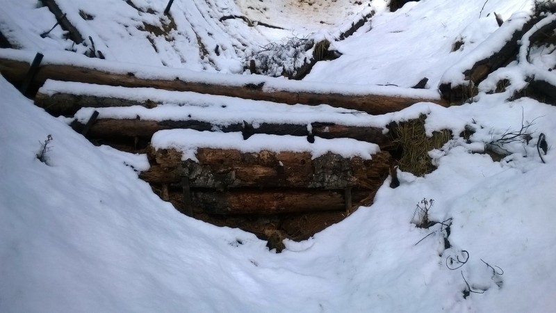
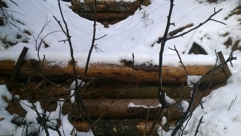
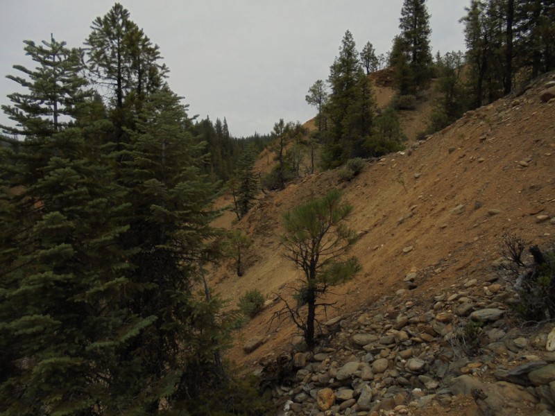
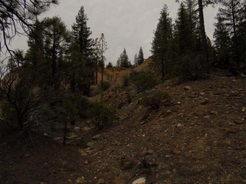
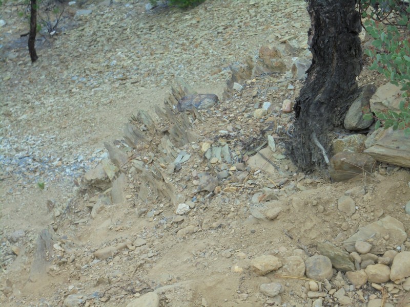
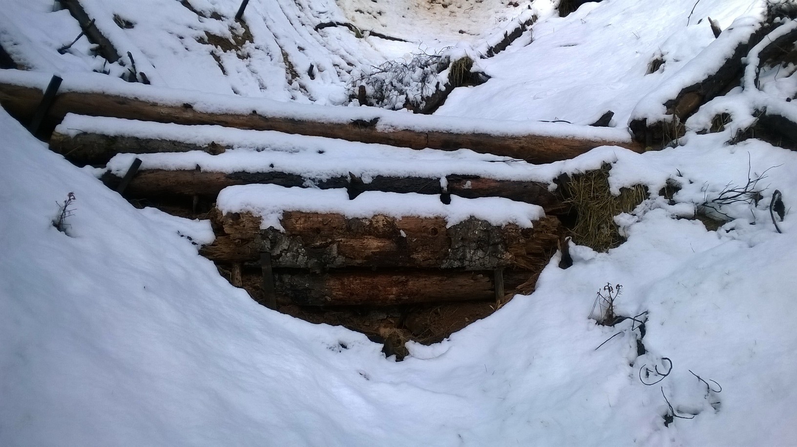
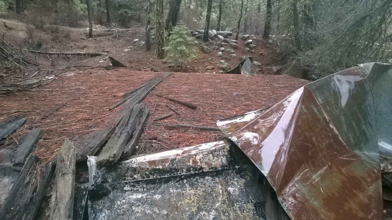
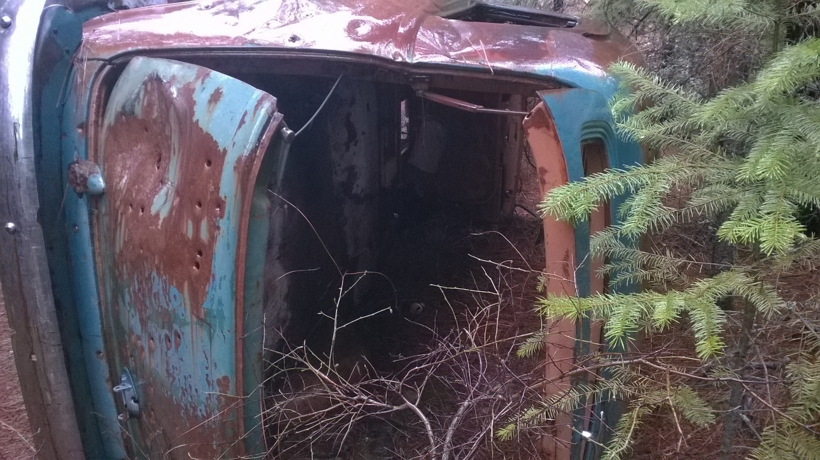
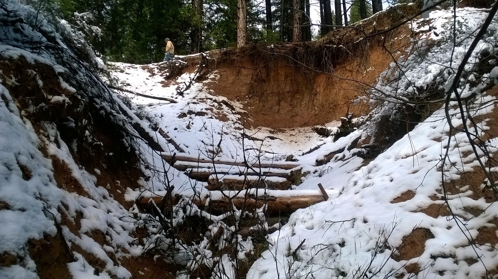
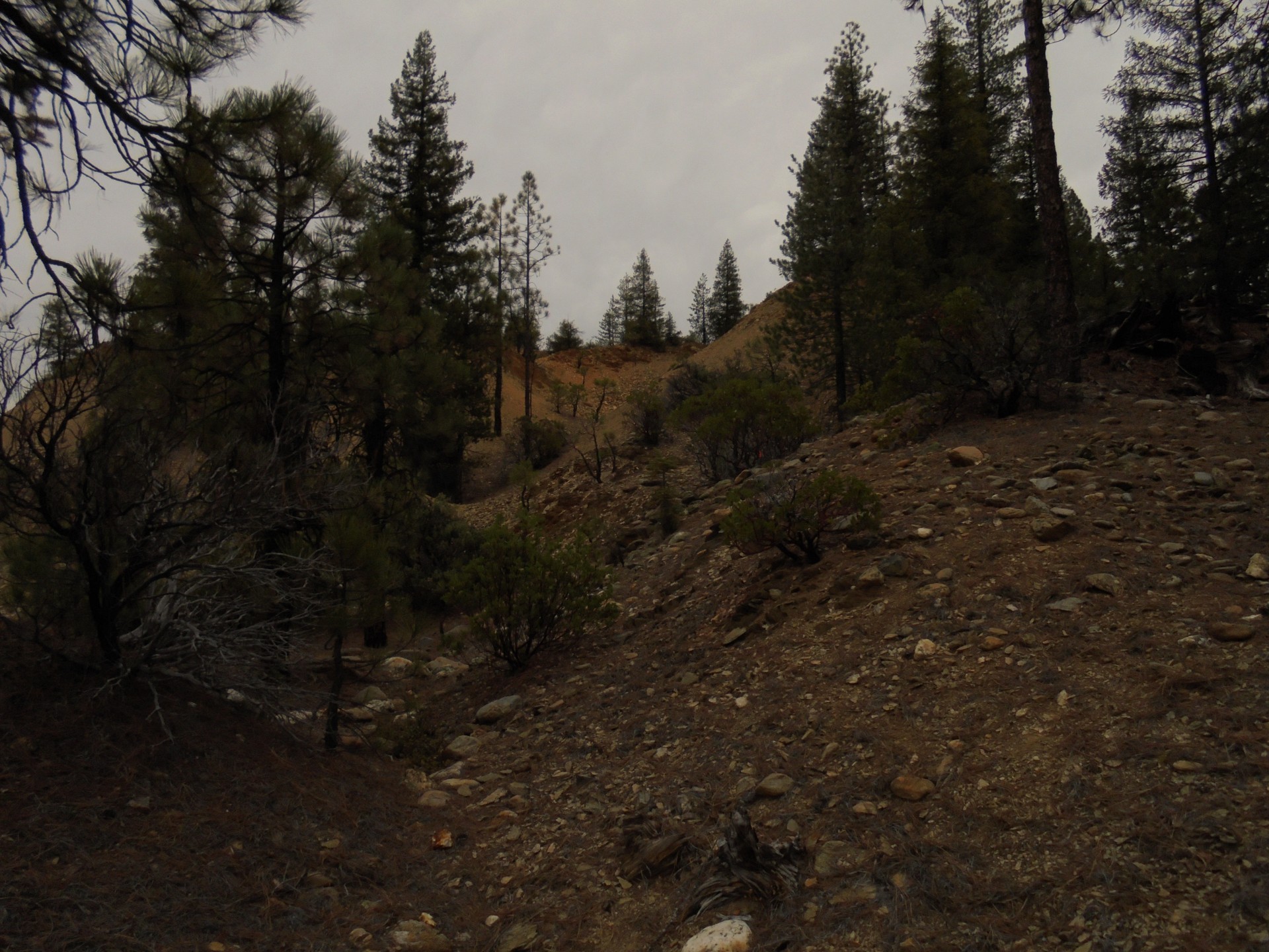
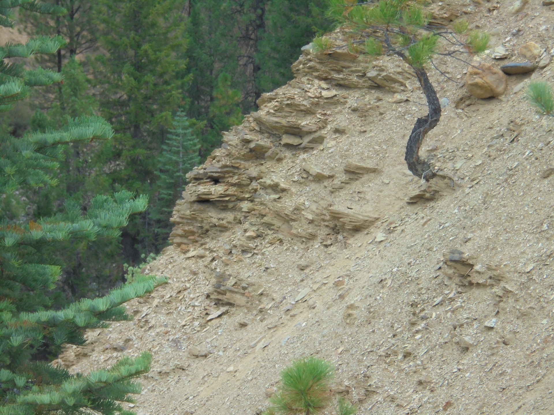
Jed's dig site was up at the northern end of the faultline where it is only partially exposed - about 1500 ft north of those pictures I previously posted. Here is Jed's site as it looks today. He & his crew did an amazing amount of digging up there - all by hand. I can't even imagine doing that kind of work. His glory hole is timbered up. It's a story that has to be told. If only I could have met him & shook his hand. I've camped up there alonne several times but won't do it anymore. Too many bears & lions & no cell service. With a crew yes. I've toasted Jed at the dig site with Irish whiskey as well. Is there still gold there? Yes.
.thumb.jpg.3db008c673d381392e33535bed4da29b.jpg)
.thumb.jpg.b1a933e5265e1fe2ac0868d74fc5c992.jpg)


-
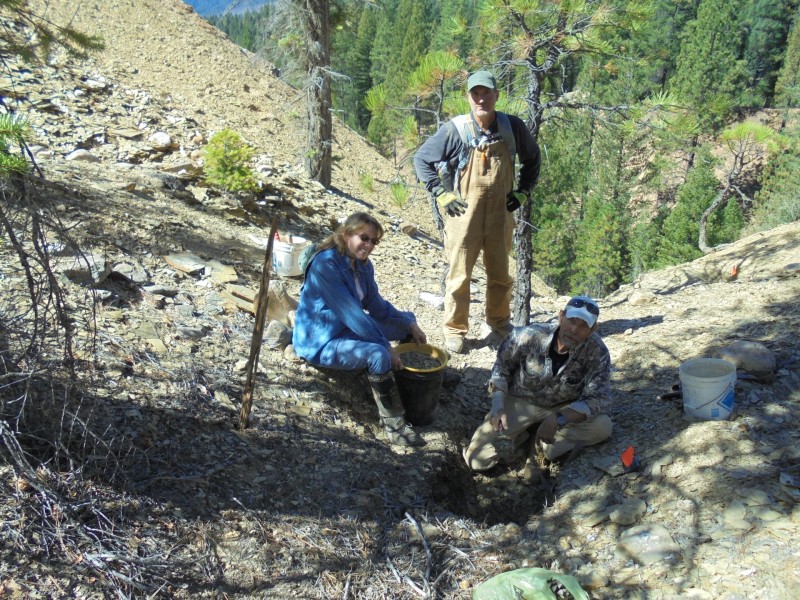
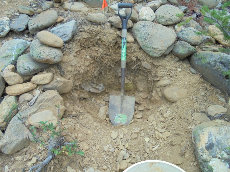
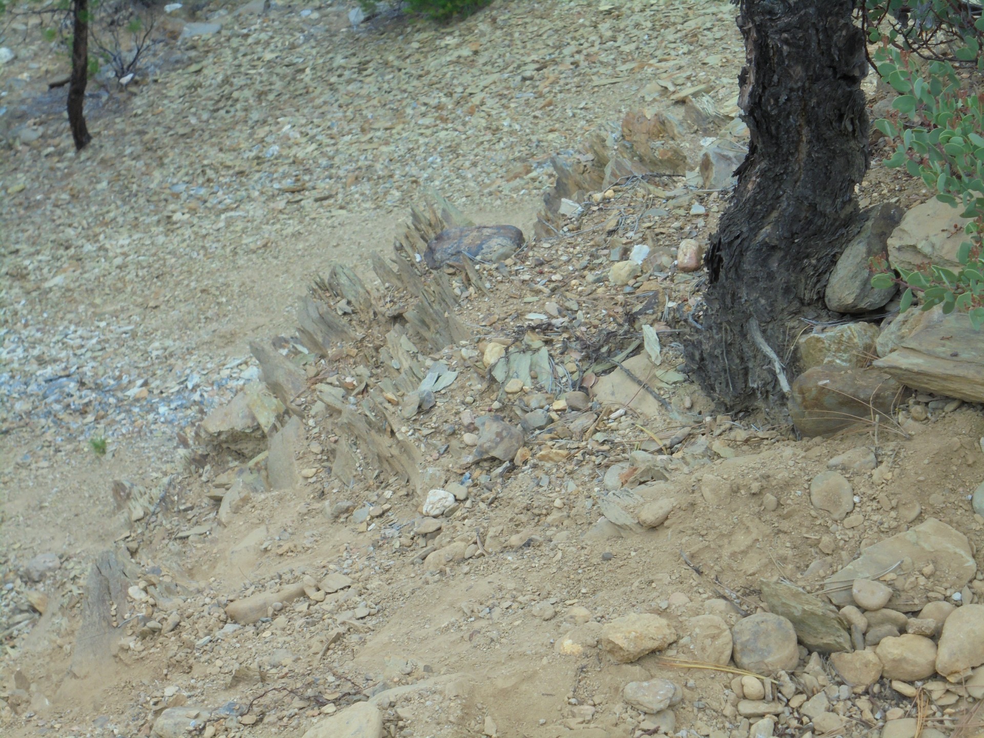
Where I'm standing in the picture is at the highest point of the faultline. The ancient river would have swept me over the falls. Two steps back & I'm dropping 100 ft straight down. At the top we were sampling $150/Yard gravels. We were looking pretty happy LOL.


.thumb.jpg.ee3263495dc7c2468b808abfa271ae48.jpg)

-
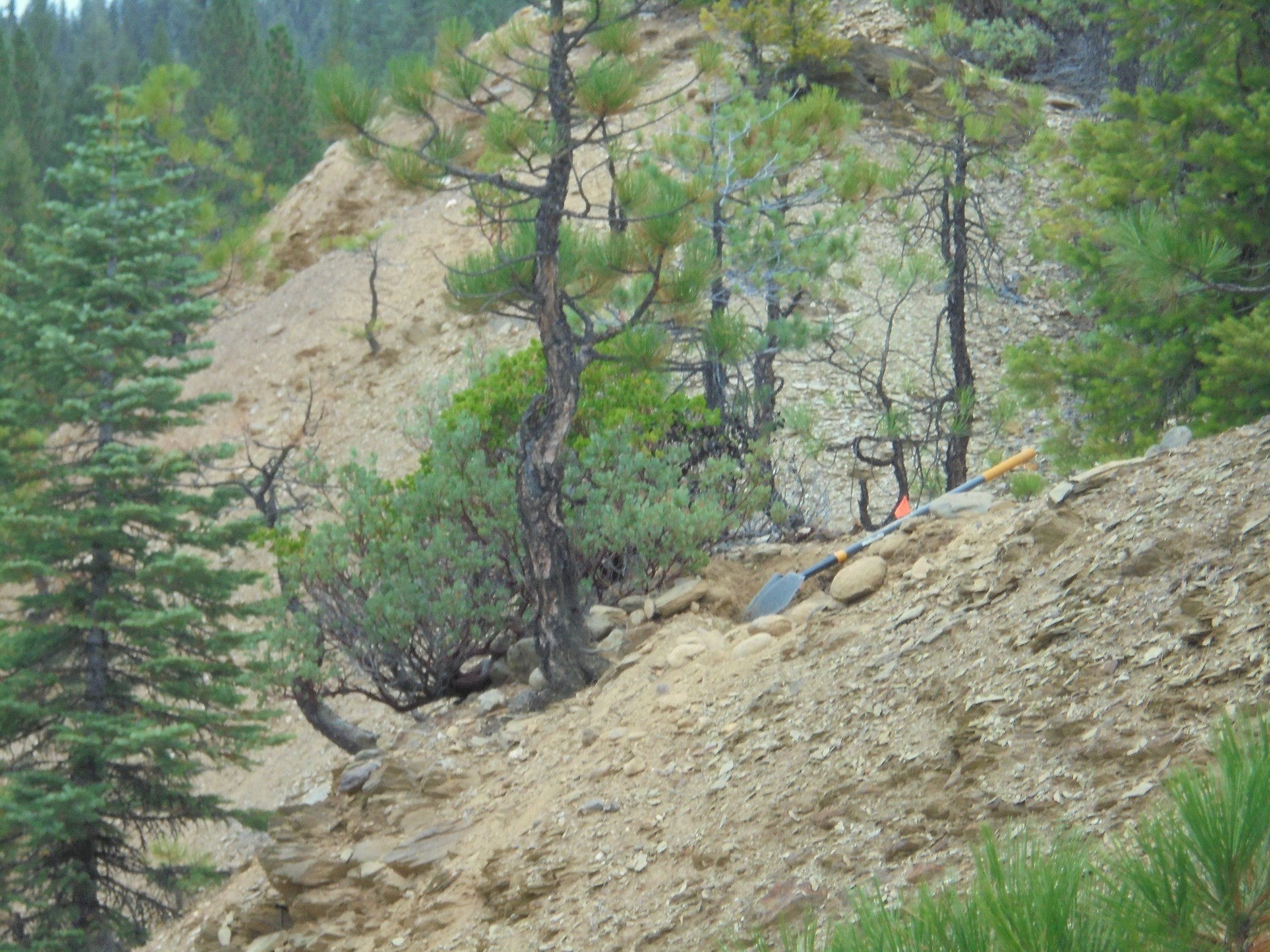
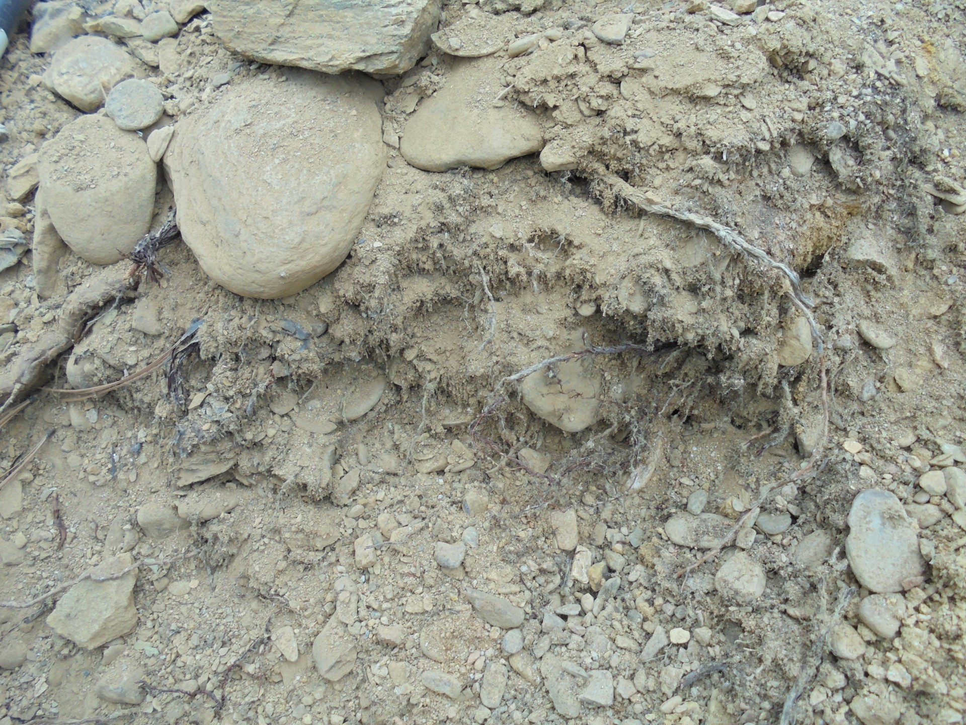
The fault line & gold.
-
Hopefully today or tomorrow. Time constraints today. Thanks for reading.
-
No worries. I'll get more transcribed when I have the time.
-
Will still be posting. If a book comes out it will be in the classified where it's supposed to be. Perhaps in the Spring. For now the journal goes on.
-
Will do.
-
Thanks so much & you are welcome!
-
Detecting Large Gold Deposits At Depth
GhostMiner replied to GhostMiner's topic in Detector Prospector Forum
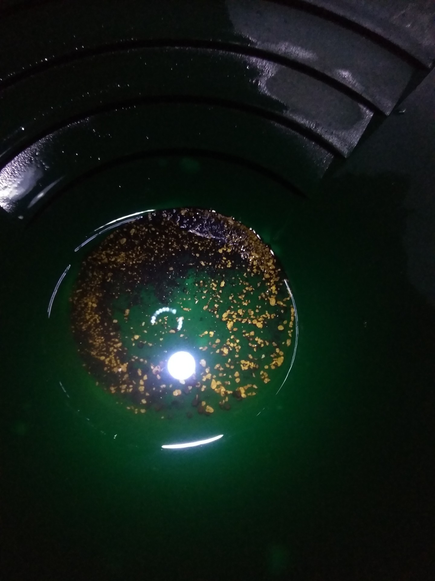
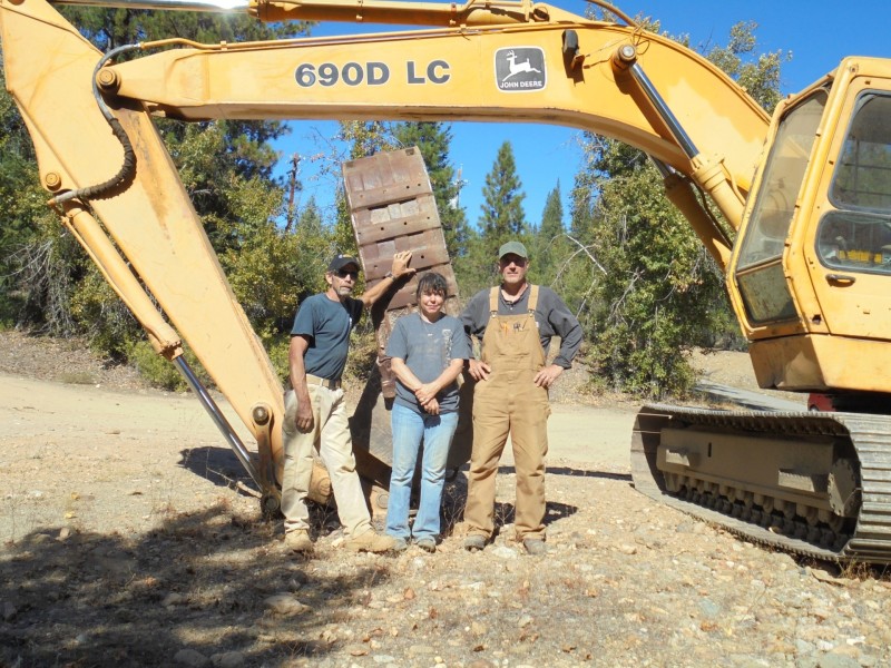
All true Clay & thank you. We had to get a POO & bond for the eastern drift. Wasn't hard to due. We had to take a skid steer out there & make a descent haul road to the site for trommel access. Then we had to pump water up 100 feet in elevation & 2000 ft in distance to get it to our holding pond. That required two 3 inch pumps in series as one pump didn't have the head to make the lift. I tended the pumps and learned not to let them run out of gas as we had no foot valve. When they shut down 2000 ft of 3 inch layflat needed to be purged which meant you uncorked the pumps and took a shower. Every morning LOL.
.jpg.862df0219dd8e6d96096f176f6410de9.jpg)
.jpg.e49e2122d4d3a4150b0bec2bee68bd88.jpg)


.jpg.eb44533e610ecd319ba016de023e1d74.jpg)