Search the Community
Showing results for 'drone'.
-
Jasong… thankyou for a fantastic synopsis about using drone capabilities to improve our effectiveness in the field. One can easily forecast the potential returns in the areas of Ontario and northern Appalachians that we frequently visit. I didn’t pay much attention to this information until reading your input on this thread and fully appreciated the possibilities. John… I’m glad this was brought to my notice because I haven’t been terribly active here just lately. Our family has just returned from the Atlantic shores and so I’ll keep this reply brief. I’ve always enjoyed your terrific sense of humor over the years, and it certainly does enliven these forums… I suppose I should thank you for the above honorable mention!!! I won’t say that I always necessarily agree with all of your technical insights, but that doesn’t matter to me in the least. I do enjoy reading your contributions and following your thought processes. The important thing is that I have always been, and always shall be, your friend. Jim.
-
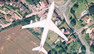
I was using google earth checking out places from yesteryear and just my Luck this happened, I posted it else where so some of you might of seen it before, Biggest Drone I have ever seen, lol I Think it was Jim Hemmingway Scouting My Secrete Patch, John
-
Yep, there are a lot of interesting and useful layers you can add to GE. I have probably 200 or so. You can add mine locations from the USGS and also a couple nice geology layers. You can also add network linked layers like WMS - One of my favorites is the realtime snowpack from NOAA. You can see exactly where in North America there is still snow and how much, it is vital for me to figure out where I can go and where I'm gonna waste time getting stuck. Also to estimate times meltoff will stop for planning dredging trips. I think Google Earth has realtime navigation too, though I haven't tried so I may be wrong. So you could grab a Google tablet like a Nexus 7 and navigate realtime over your (non-networked) map layers if so. If you want to get more advanced you can georeference your own maps. For instance the Bureau of Mines has a ton of old hand drawn maps by mining geologists showing geochemistry results, trenching, etc, or higher resolution geology maps, prospect and mine maps, etc. These things are solid gold. One thing I'm working on (well mostly in theory at this point, other than a few basic runs so far) is doing ultra-high res aerial drone imagery of some of the more popular prospecting spots. It's high enough resolution that you can see individual dig holes for instance. I stitch it all together, georeference it, and I can browse almost realtime ultra-high res custom aerials.
-
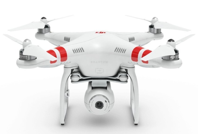
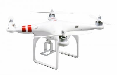
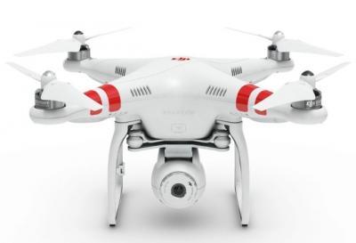
You guys have great Google Earth coverage down here. It is nearly useless in Alaska and I would have been thrilled to have this alternative. As it was I was lucky enough to have a father with an airplane I could talk into doing aerial photography runs. Aerial views can be incredibly handy in rough terrain, or terrain with lots of trees. Anything that stops you from seeing what is "over there". It is so easy to miss stuff wandering around on foot. As I noted, Google Earth is a huge aid, but it is not perfect. The best time to see stuff is when the leaves are off, and often Google Earth overviews are obscured by foliage. This unit is designed to work with a Go Pro camera and so costs less than models with integrated camera solutions. I am not expert in this stuff and just grabbed this as an example because they seem to be a well known manufacturer. The DJI Phantom Aerial UAV Drone Quadcopter for GoPro at http://www.amazon.com/DJI-Phantom-Aerial-Drone-Quadcopter/dp/B00AGOSQI8/ Then there is a top-of-the-line model with integrated camera on gimbal. The Go Pro model you aim the drone to get the shot. This one you can hold the drone steady and rotate the camera. More money of course. DJI Phantom 3 Vision Quadcopter with Integrated FPV Camcorder at http://www.amazon.com/DJI-Phantom-Standard-Quadcopter-Camera/dp/B013U0F6EQ/ref=dp_ob_title_toy Anyway, just food for thought. We found aerial photography to be a huge benefit metal detecting the tailing piles at both Ganes Creek and Moore Creek.
-
Drones For Aerial Reconnaissance
AzViper replied to Steve Herschbach's topic in Detector Prospector Forum
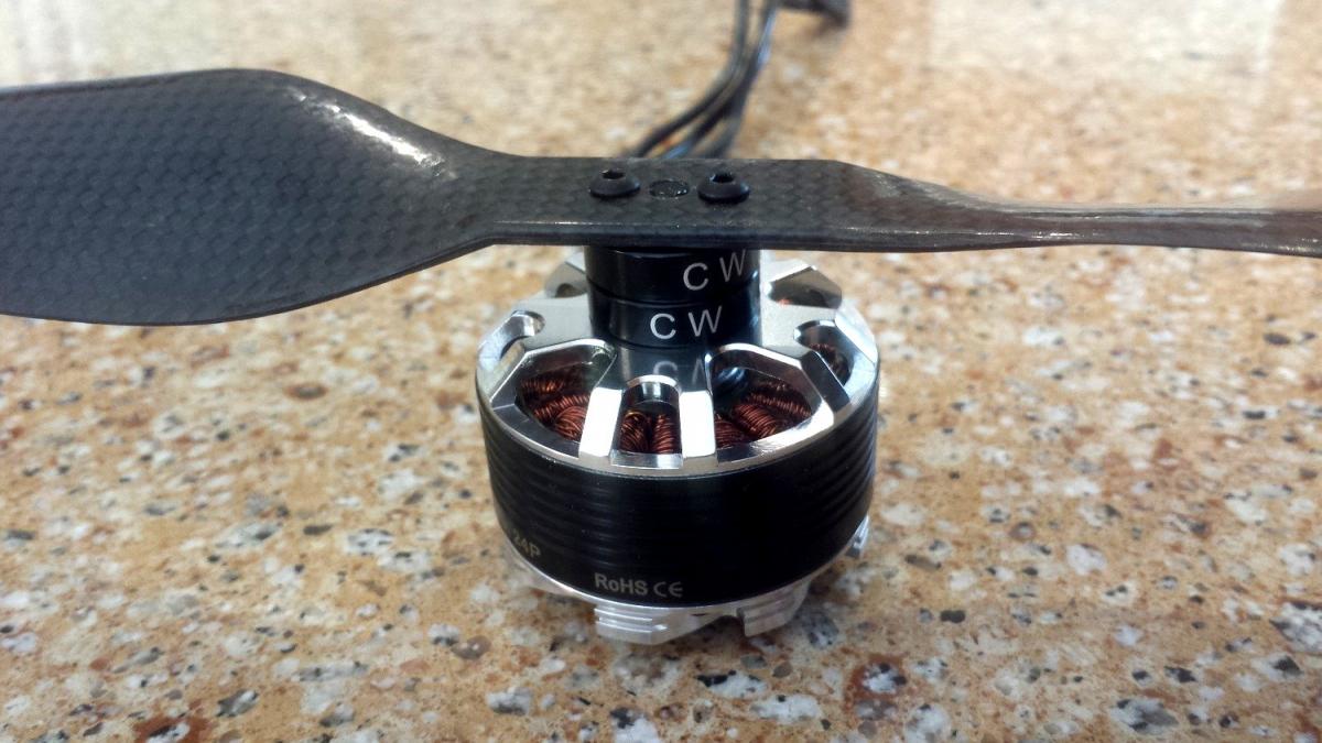
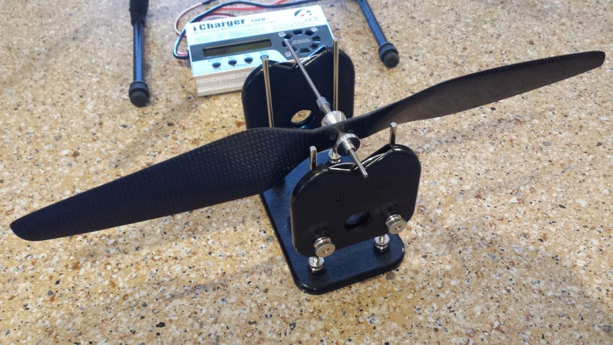
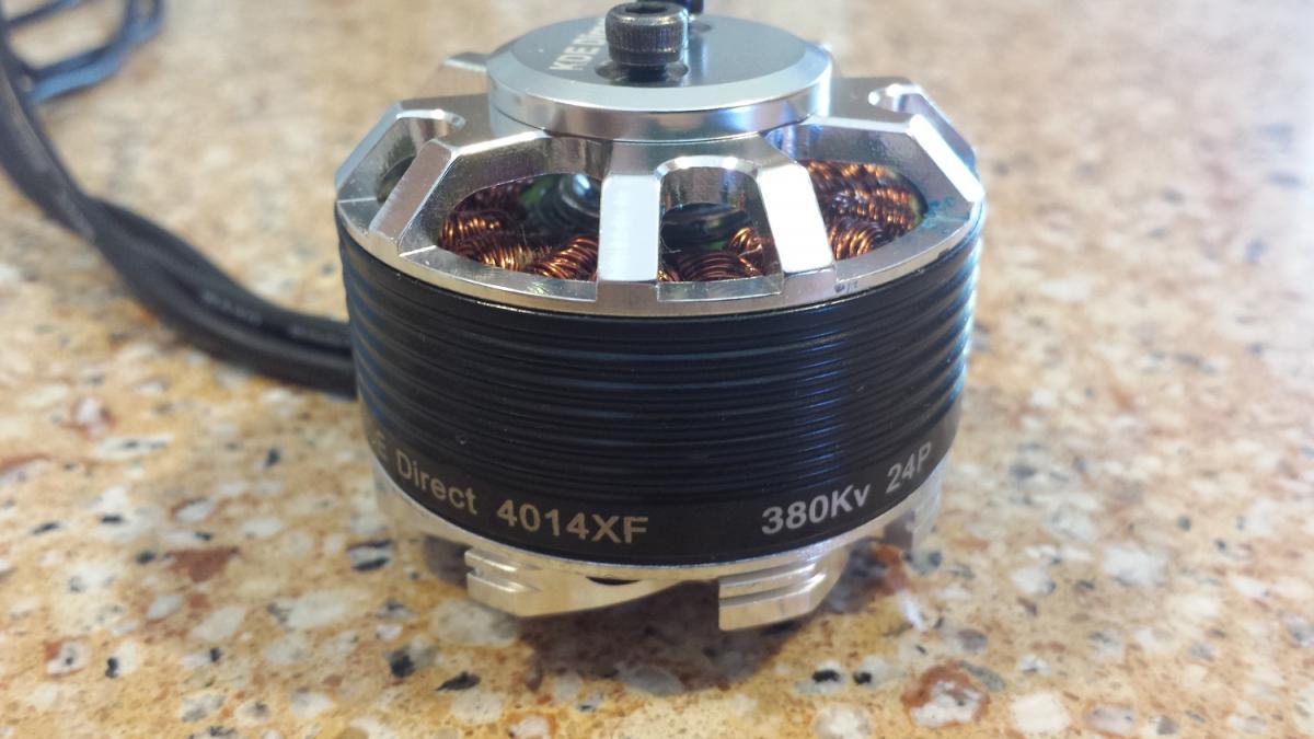
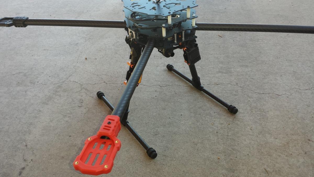
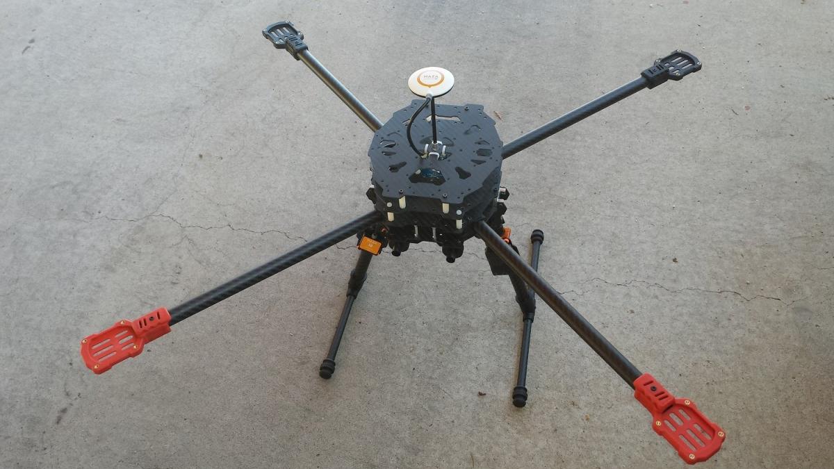
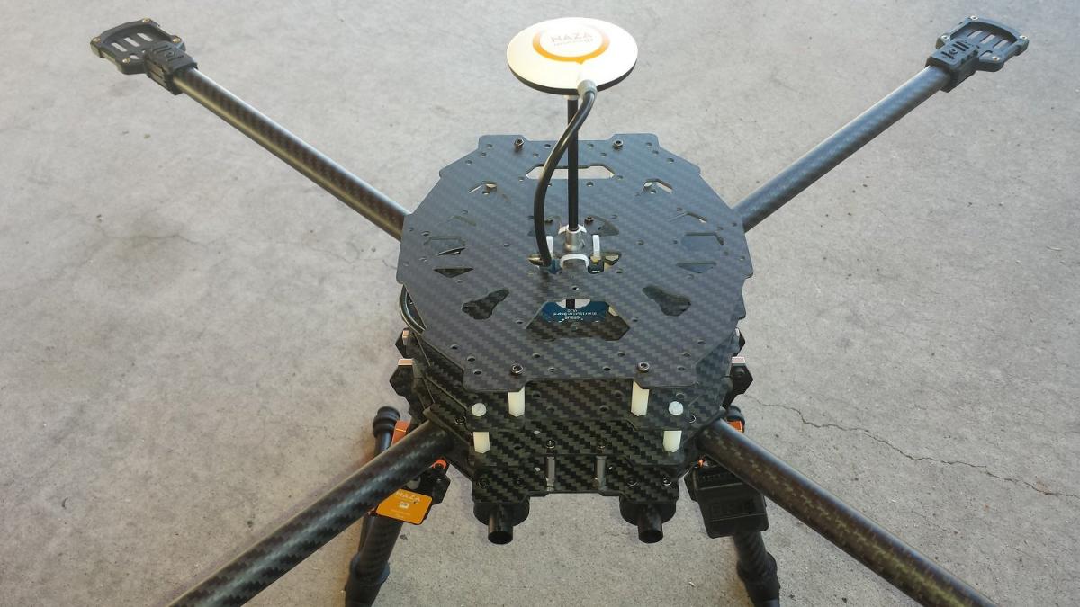
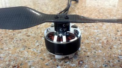
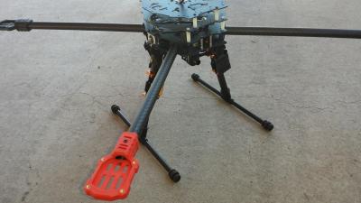
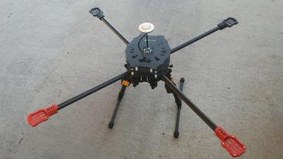
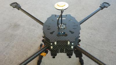
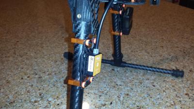
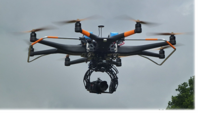
Steve I am in the process of building a drone now. Lots more advance than the DJI, its all carbon fiber and will have live video back to ground station. This quad will fly out to about 5 miles. and with the HD video down link the image quality will be outstanding. Two cameras will be on-board. One to show where I am flying and the second on a controllable gimbal where I can point the camera in all directions. Has a failsafe system so I flip the switch and the copter returns to the GPS cords. where it took off from and lands on its own. The quad will have 17" carbon fiber props so to cut down on noise and have about 30 minute flight time per charge. With rapid Lipo batteries can be back in the air in short time or have another set of batteries to switch out to fly while the other battery is charging. The uses of a quad with video is endless. Movie studios are using them over helicopters due to the expense. GoPro is in the stages of developing a quad to sell using their famous GoPro. Click on this link to see a great video. Make sure to expand to full screen. Shot from a DJI quad shown above... http://vimeo.com/107258028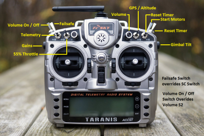


-

Drones For Aerial Reconnaissance
Reno Chris replied to Steve Herschbach's topic in Detector Prospector Forum
I've never used a drone - Mostly I use Google Earth for those types of situations where I want to see things a bit before I get there. With commercially available low cost drones, you pretty much need to be on site - drones you cant really tell you what someplace many, many miles away is like - they don't transmit that far. Many have limits less than a mile. There are also legal restrictions on flying over some types of federal land. I am sure some day future prospectors will use drones, but I think its still a bit off in the future yet.